RegioDT - Workshop 1

Europe/Vienna
Bolzano

Bolzano

EURAC Research Conference Hall Viale Druso Drususallee, 1, 39100 Bolzano
Description

RegioDT – Workshop 1 – 29/03/2023 Bolzano Italy

We would like to invite you to our first Regional Digital Twin workshop, dedicated to the alpine region of Italy, Switzerland, Germany, Slowenia and Austria. The Workshop is held as part of the "FPCUP Activity „REGIONAL DATA CUBES IN AUSTRIA AND BEYOND (RegioDT)”, funded by the EU and the Austrian Research Promotion Agency (FFG).

This workshop will focus on exploring the use of Copernicus data in a regional context and the implied requirements for a digital twin of Austria and its neighboring countries in the alpine region, including Italy, Switzerland, Germany, and Slovenia. The RegioDT project aims to study and pre-analyse the requirements for a digital twin of Austria and its neighboring countries.

This digital twin should offer general available (i.e. Copernicus) but also region-specific and cross-boarder datasets in a regional “data lake” to support regional and cross-boarder applications. RegioDT should deliver an essential step to identify the requirements for a regional digital twin.

The focus of RegioDT is Austria and its neighboring countries, specifically the analysis and identification of regional stakeholders and their requirements to the development of digital twins. Furthermore, the project will elaborate on different Data- and Processing requirements for a regional digital twins.


In this workshop we plan to present current regional digital twin initiatives, work with you towards identifying cross-boarder measures, requirements and challenges and enable networking for joint future initiatives.

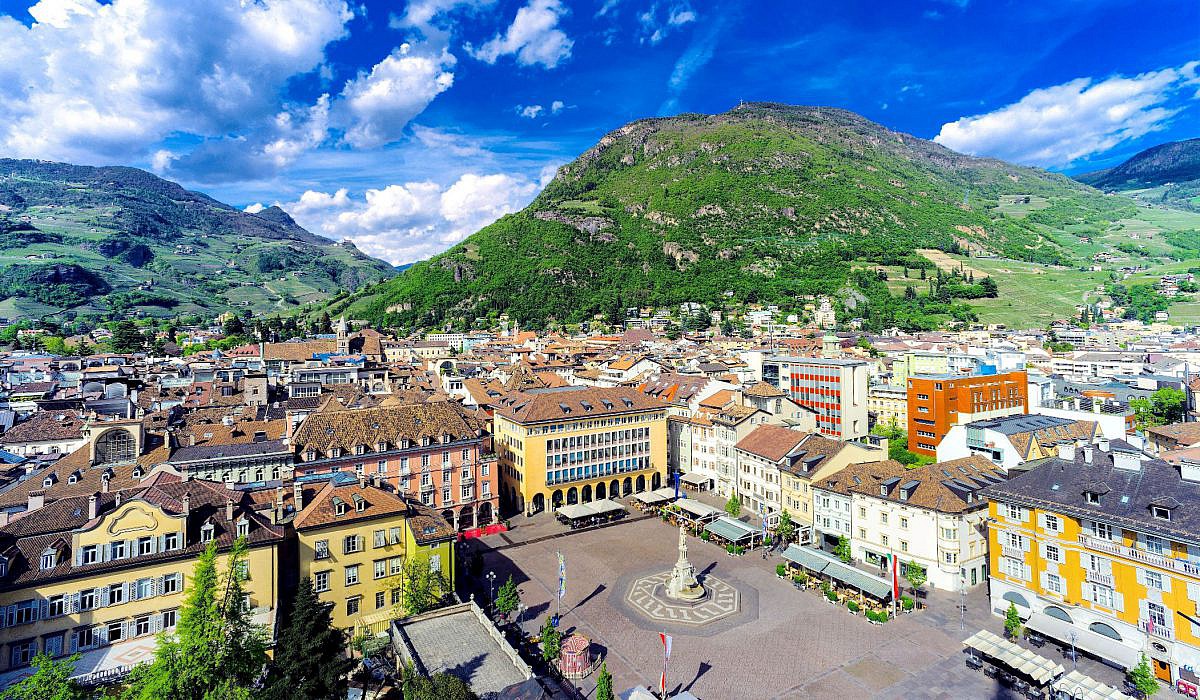
The workshop will be held in a hybrid setting in Bolzano, Italy on the 29th of March 2023 (see details below the image). Following the event, a networking dinner will take place for in-person participants.


Contact
    • 09:30 10:00
      In-Person Registration
    • 10:00 10:30
      Opening Session + Welcome

      EODC will welcome all in-person and remote participants. A keynote talk will be given.

      • 10:00
        Welcome 30m
        Speakers: Benjamin Schumacher, Christian Briese (EODC)
    • 10:30 12:00
      Present regional and cross-border initiatives

      Several invited key players of Austria, South Tyrol, Switzerland and Germany will give an overview of current cross-boarder initiatives from the scientific and public domain.

      • 10:30
        ESA Green Transition Information Factory & potential linkages with Digital Twin technology 20m
        Speaker: Dr Patrick Griffiths (ESA)
      • 10:50
        Drought Monitoring in the Alps -  The Alpine Drought Observatory 20m
        Speaker: Mr Alexander Jacob (EURAC Research)
      • 11:10
        Semantic Earth Observation Data Cubes with an inference API that supports multiple clients 20m

        This talk introduces semantic Earth observation (EO) data cubes as well as planned and upcoming activities. A semantic EO data cube or a semantics-enabled EO data cube is a data cube, where for each observation at least one nominal (i.e., categorical) interpretation is available and can be queried in the same instance. The term "semantic" refers to the fact that the data cube has been enriched with semantic information, which adds meaning to the data and allows querying based categories instead of reflectance values. Users can formulate queries in semantic models and store and share them in a knowledgebase. Once a semantic model is registered in the knowledgebase, it receives a unique identifier and its execution can be triggered by a variety of clients via standard Web interfaces.

        A Proofs-of-concept of semantic EO data cubes is available for several regions and sensors, e.g., Sentinel-2 for Austria, and parts Syria, and Afghanistan, or AVHRR and Sentinel-3 for the Alps.

        Speaker: Dr Martin Sudmanns (Z-GIS University of Salzburg)
      • 11:30
        openEO Platform: Enabling analysis of large-scale Earth Observation data repositories 20m

        The growing data stream from Earth Observation (EO) satellites has advanced scientific knowledge about the environmental status of planet earth and has enabled detailed environmental monitoring services. The openEO API developed in the Horizon 2020 project openEO (2017–2020, see https://openeo.org/) demonstrated that large-scale EO data processing needs can be expressed as a common set of analytic operators which are implemented in many GIS software or image analysis software products. The openEO Platform service implements the API into an operational, federated service currently running at back-ends at EODC and VITO with access to SentinelHub data to meet processing needs of a wide user community.

        openEO Platform (https://openeo.cloud/) enables users to access a large collection of open EO data and perform scientific computations with intuitive client libraries simplifying underlying complexity. The platform is currently under construction with a strong focus on user co-creation and input from various disciplines incorporating a range of use-cases and a free-of-charge Early Adopter program that allows users to test the platform and to directly communicate with its developers. The use cases include CARD4L compliant ARD data creation with user defined parameterisation, forest dynamics mapping including time series fitting and prediction functionalities, crop type mapping including EO feature engineering supporting machine learning based crop mapping and forest canopy mapping supporting regression based fraction cover mapping.

        Speaker: Benjamin Schumacher
      • 11:50
        General Q&A 10m
    • 12:00 13:00
      Lunch Break 1h
    • 13:00 14:30
      Current Stakeholder activities and challenges with cross-border geodata

      In this session an overview of current cross-border data management will be given and feedback on these and unknown challenges will be collected.

      • 13:00
        From national to Alpine wide monitoring of the cryosphere- data and processing requirements and challenges 20m

        Monitoring snow and ice in the Alps is of interest for a wide range of applications, for instance in hydrology, meteorology, geotechnical engineering, water management or hydropower generation. Thereby, the requirements of the different applications are varying in terms of spatial and temporal scale and resolution, and also of the latency time of the product delivery. Data of the Copernicus Sentinel satellites provide a very useful database for regular monitoring of snow and ice not only locally but even globally. The exploitation of these satellite data on a regional to global scale requires physically based algorithms. Additionally, auxiliary data such as a digital elevation model, land cover classifications, or glacier outlines are often required for the retrieval of snow and ice parameters from satellite data. Such auxiliary data sets are often available with a very high quality on a national level, but there are some differences along the national boundaries, limiting the usability of such data sets for an Alpine wide monitoring.

        This presentation will focus on requirements for the monitoring of snow and ice parameters in the Alps, discussing current challenges linked to retrieval methods and to data sets available on a national, regional, and global scale.

        Speaker: Gabriele Schwaizer (ENVEO)
      • 13:20
        GeoSphere Austria - data provider and user 20m
        Speaker: Stefan Schneider (Geospere Austria)
      • 13:40
        Transboundary Storm Risk and Impact Assessment 20m
        Speaker: Massimiliano Pittore (EURAC)
      • 14:00
        Austrian Geodetic Commission - Digital Twins and geodetic aspects 20m
        Speaker: Ekkehart Grillmayer (Zivigeometer)
      • 14:20
        Brainstorming - Digital Twin South Tyrol 10m

        The South Tyrol digital twin project aims to create a digital replica of the territory that is able to provide real time information and link public administration services for citizens. This will create a virtual territory immersion experience, allowing citizens to access information on weather, traffic, air quality and environmental conditions.

        In addition, the digital twin of the South Tyrolean territory will make it possible to integrate services offered by the public administration, such as traffic management, parking management, waste management and emergency management. This will provide citizens with greater transparency and access to information on the activities of the public administration.

        The project will use state-of-the-art technologies, such as the Internet of Things, augmented reality and geolocalisation, to create an innovative and engaging user experience. In addition, data analysis algorithms will be used to gather information about the territory and citizens' activities, improving the quality of services and spatial planning.

        In conclusion, the South Tyrol digital twin represents an important step forward for technological innovation in the public sector, offering citizens greater transparency, access to information and a better user experience.

        Speaker: Thomas Quetri (SIAG)
    • 14:30 15:00
      Coffee Break 30m
    • 15:00 16:30
      Open Session with discussion

      This Session will be an open Discussion session to foster new initiatives and collaboration.

    • 18:00 20:00
      Networking Dinner